GIS Mapping

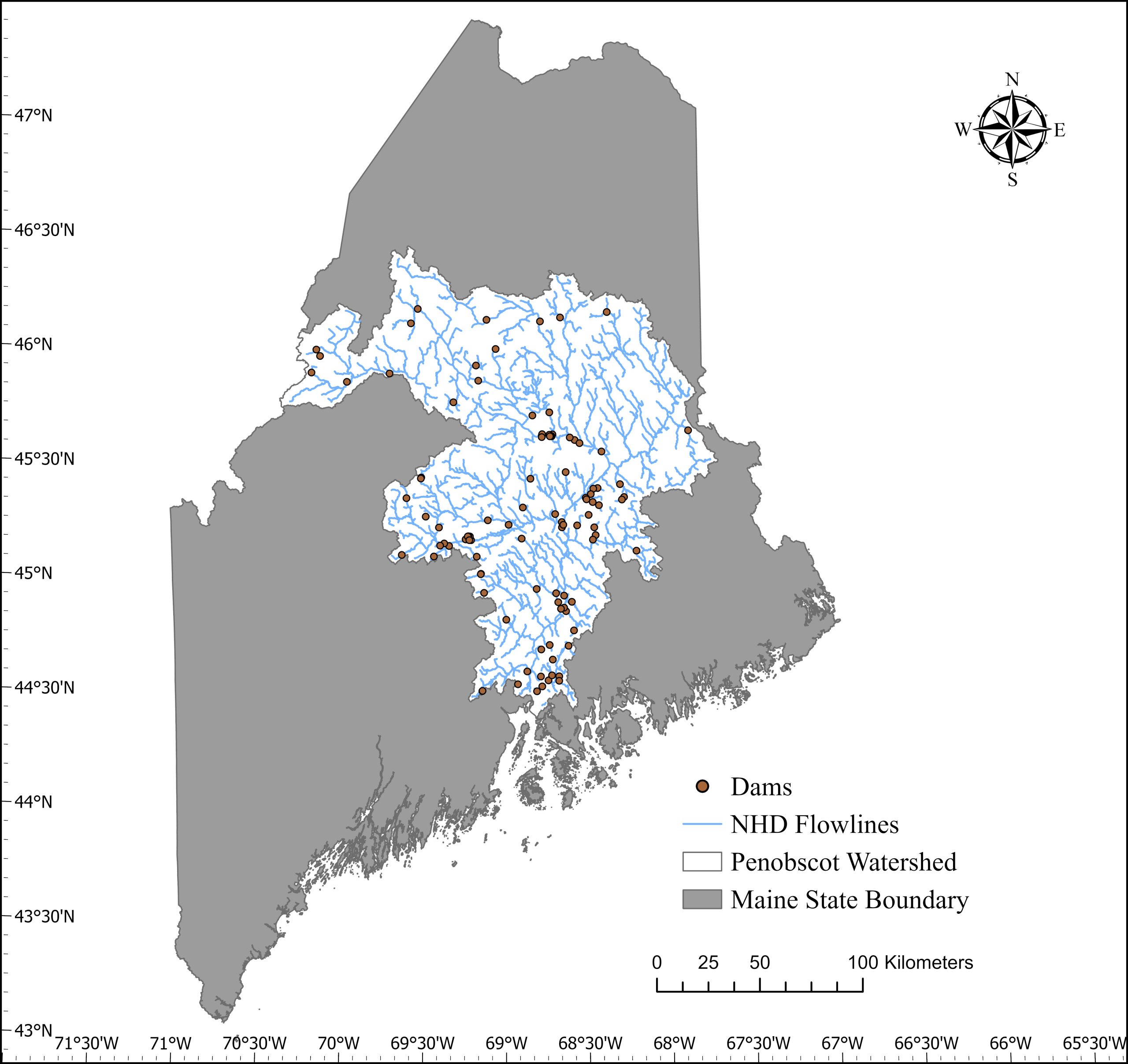
Geographic Information System or GIS is a computer system that allows people to map, model, query, and analyze large quantities of data according to their location. GIS is designed to capture, manage, analyze, and display all forms of geo-referenced information. GIS stores information as a collection of layers which can be linked together or overlaid by a common location component. GIS makes information available to reveal relationships, patterns, and trends in the form of maps, images, reports, graphs, models, and charts. It also allows users to view, manipulate, understand, question, interpret, and visualize real world information easily. With GIS, we can compare and analyze different things simultaneously to discover how they relate to each other, simulate multiple scenarios, prioritize actions, and improve structured decision making. GIS is an indispensable tool for all natural resource management.
Here at the Penobscot Nation DNR we have been employing GIS technology for a long time. The DNR GIS program plays an important role in assisting with tribal natural resources and environmental management. We work with all our DNR programs to provide assistance on a wide variety of projects such as performing spatial analysis, data management, environmental analysis, remote sensing, and spatial predictive modeling to support activities such as forest resource planning, zoning, water quality monitoring, water resource modeling, and fisheries management to effectively support the Penobscot Nation’s stewardship of its lands and resources.
